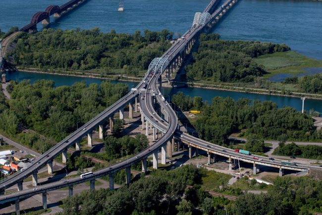
Honoré Mercier Bridge
The Honoré Mercier Bridge, which is co-managed by the provincial government and JCCBI, serves as an example for collaboration with the Mohawk Council of Kahnawà:ke and the expertise of Mohawk contractors. The Bridge crosses the St. Lawrence River and the seaway, on the west side of the Island of Montreal.